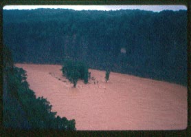
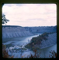
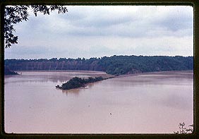
After crashing through the Lower Falls area, the waters headed north. They flooded the old abandoned village of St. Helena, the valley at Gardeau where Mary Jemison once lived, and covered the fields at Smokey Hollow. The Mt. Morris Dam lay ahead....
The story of the Flood of 72 in Letchworth Park continues through the memories and photographs of Don and Norma Gibson.....
Toward the Mt. Morris Dam.....
 |
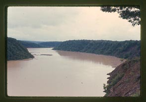 |
| Looking from top of the gorge at the high Genesee down stream |
|
 |
 |
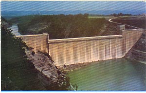
The Mt. Morris Dam.....
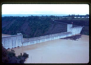 |
Mt. Morris Dam is about 34' below the spillway at 12:45 P.M. |
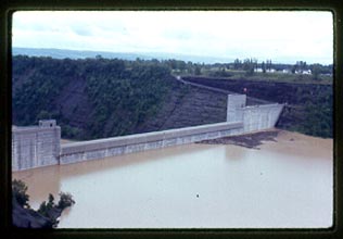 |
Water is about 32' below the spillway at 1:05 P.M. |
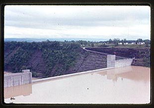 |
Water is about 9' below the spillway |
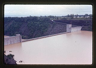 |
Water is about 6' below the spillway |
 |
Water is at the base of the spillway |
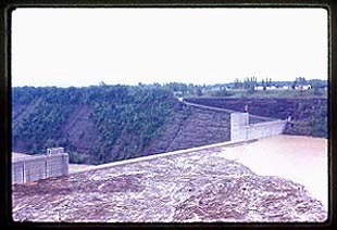 |
Taken just before opening some gates to avoid water and debris going over top and causing major damage down river to Rochester. |
The Mt. Morris Dam held. Eventually the waters of the great fifteen mile lake which formed behind the Dam receded leaving behind tons of debris and acres of dead and dying vegetation. The toll of Hurricane Agnes was staggering. According the the National Weather Service the Hurricane "was the costliest natural disaster in the United States at that time", resulting in over $3.1 billion dollars in damage and over a hundred deaths.
Although the Genesee River and Letchworth Park was not hit as hard as the Susquehanna Valley and other areas, the impact of the Flood would be felt in the Park for many years - the Lower Falls Bridge and trail to Sugar Loaf did not officially reopen for several years. To this day visitors can still see some of the natural "scars" left by the flood waters over thirty years ago!
For more information on Hurricane Agnes and the Flood of '72 we suggest the National Weather Service page on the event, and Mrs Anderson's "Genesee Memories and the Flood of '72".
Special Thanks to Don and Norma Gibson and their children for sharing the images and memories of the Flood of '72!