| In Part One we followed the old "Pennsy" from the Deep Cut to the Slide Area. In Part Two we continue the journey as we travel to the Portage Bridge. |
|
|
At one time two major railroads crossed at the Portage High Bridge - the Erie above on the trestle, and the Pennsy below. These images show the Pennsy near the bridge. See images 86, 93, and 94 for additional images of the Pennsylvania RR near the Bridge. |
| This stereoview, published around 1900 shows the Pennsylvania RR tracks from the top of the Portage High Bridge. The view is looking north. Click of the image for a larger view. | 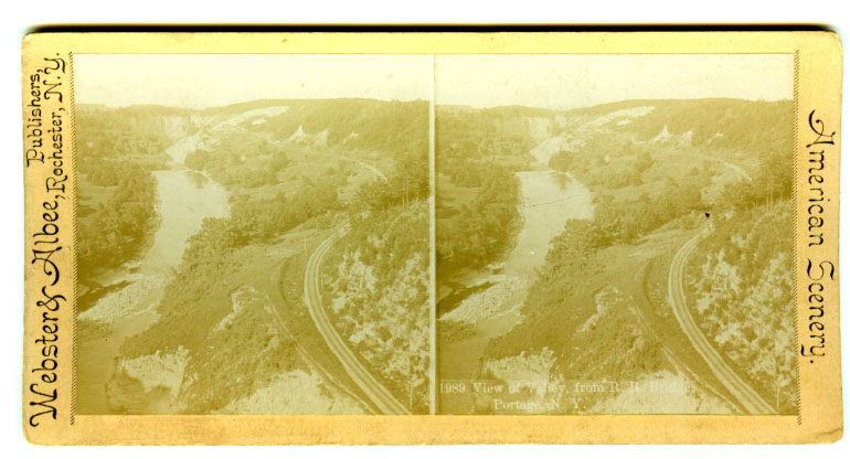 |
| This image comes from a photo album which dates before 1910. The men are on the tracks between the slide area in the distance and the Portage Bridge, which was some ways behind the photographer. The open area to the right is now a thick forest. Some remnants of the fence on the left is still visible. | 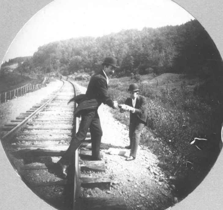 |
|
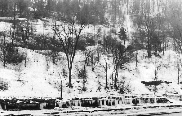
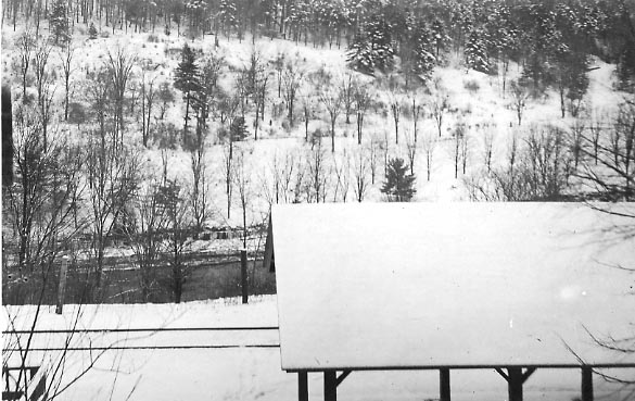
The excursion trains would have had to let out their passengers somewhere near the Portage Falls. It is possible that they stopped at the station in Portageville, but it is more likely that they let passengers out near the bridge. These two real photo postcards show a roofed platform just north of the Bridge. They were probably taken between 1910 and 1920 by Jason Hewitt of nearby Portage. In the top one, the shelter can be seen in the upper left. A path to the top of the Bridge (out of the photo to the right) can be traced leading away from the railroad bed. This shot was taken from the west bank of the river, below the upper falls. The lower image shows the top of the shelter, the tracks, and part of another structure to the lower left. It was taken from the bank above the tracks, looking west. The Portage Bridge would have been up the tracks to the left. |
  |
|
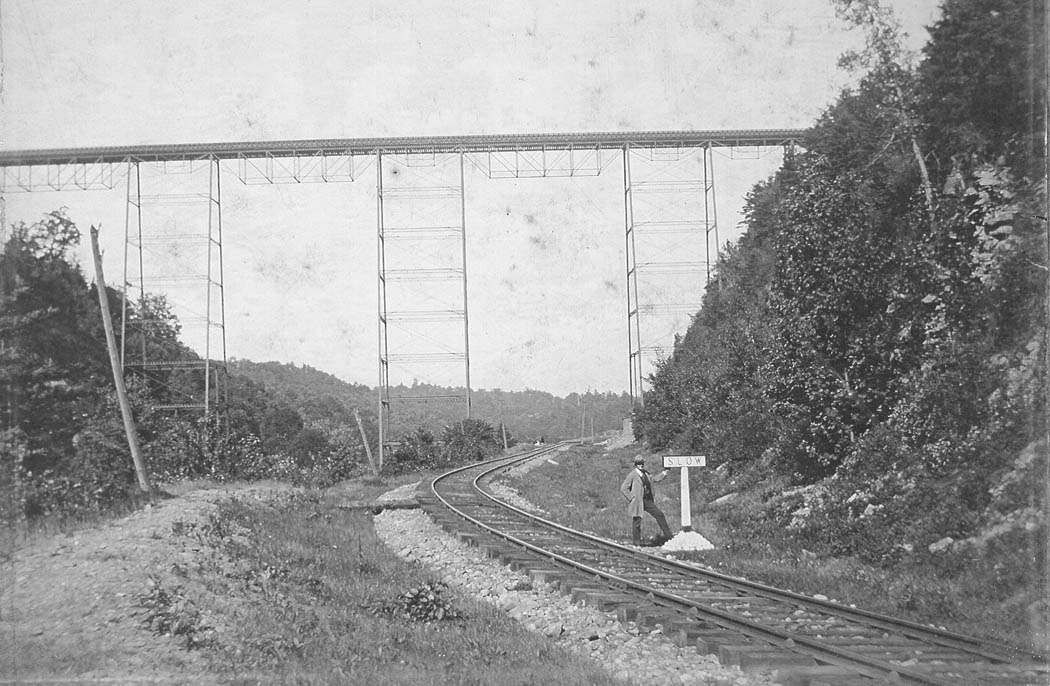
This image was taken from the bed of the Pennsy looking north toward the point where the track passes under the Portage Bridge. The river is not visible, but lies just to the left. The sign says "slow". This photograph, sent to us by Karen Gibson Strang, was taken by F.E. Herrick and is dated September 11, 1898. In Part Three we complete the journey by passing though the Rock Cut and Horseshoe Bend. |
 |